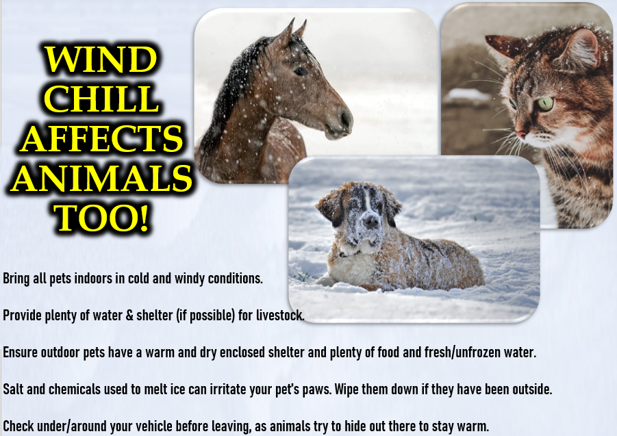
VERY COLD: Remember to bring pets inside because it's going to be VERY COLD through Friday (then a slight warming trend starts Sat Feb 15). Highs all week 37-43, lows way below freezing (as low as 17-20). Normal high/low is 52/34. Then, for a change, temps may actually be just on either side of normal Feb 16-24 but a significant warm up to solidly above normal is not expected through Feb 25 or possibly the end of the month (Feb 28).
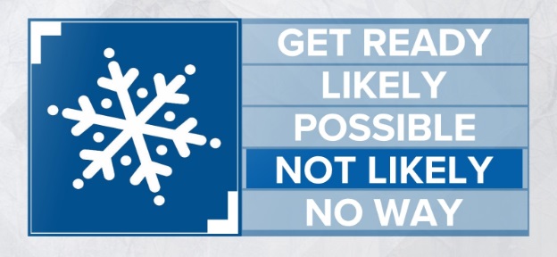
SNOW: Snow chances here are very low to none through Friday, but the best opportunities to see some flurries or an extremely light dusting is Thursday morning and possibly again Friday morning. So many ingredients have to come together just right for snow below 1000'. Next Saturday onward, snow levels probably fluctuate and stay above 2500-4500' (preliminary).
RAIN: 2-4" of total rainfall expected Thursday through Feb 23, as four to five low pressure systems pass through the PacNW. One or two of these may have a moisture feed so lots of rain looks like a good bet.
WIND: Strong winds not currently seen, but it can get a little breezy at times Thursday through next weekend with wind gusts of 15-25 mph possible at times (no biggie, this isn't strong winds).
OUTLOOK: I think that starting next Saturday Feb 15 we may then be done with lows below 27° until next winter (keep fingers crossed). Outlooks for March odds strongly favor above normal precipitation with near normal to just slightly below normal temperatures.
Subscribe to receive updates when we post weather and preparedness updates to our blog. You can elect immediate, daily, or weekly emails. We anticipate a fairly low volume - 3 to 5 posts per week.