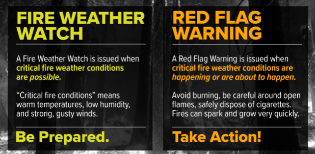
The National Weather Service has issued a Fire Weather Watch for most areas north of Douglas County from 11:00am FRIDAY to 8:00pm SATURDAY.
The reason for this WATCH is the possibility of easterly winds being stirred up by a dry low pressure system that will be passing through the region during that time. These easterly winds can lower humidity levels and add to the fire danger.
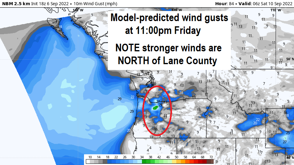
Winds will remain strongest in the Cascades NORTH of Lane County and especially in the far northern Oregon / far southern Washington Cascades.
Current model data shows strongest winds over the Cascades from Friday morning through Saturday afternoon. Most data predicts gusts in our local Cascades at 25 mph or less with 25-35 mph gusts possible well north of Lane County - especially closer to Mt. Hood.
No need to panic. This is not an extreme wind event like what occurred in 2020. It doesn't automatically mean there will be new fires. Anytime we get a decent east wind event during dry summer months, it's something to keep a close eye on. Hence the FIRE WEATHER WATCH.
Our first fall-like storm system may bring light rain to the area on Friday Sept 16. Data hints that another storm or two will then follow. If we all keep our fingers crossed, we might get some much needed light rain at the end of next week.
Subscribe to receive updates when we post weather and preparedness updates to our blog. You can elect immediate, daily, or weekly emails. We anticipate a fairly low volume - 3 to 5 posts per week.