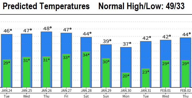
Snow possibilities increase Sat/Sun. Otherwise, uneventful through Thursday: Night/morning fog and/or low clouds with possible slow burn off and very light to calm winds.
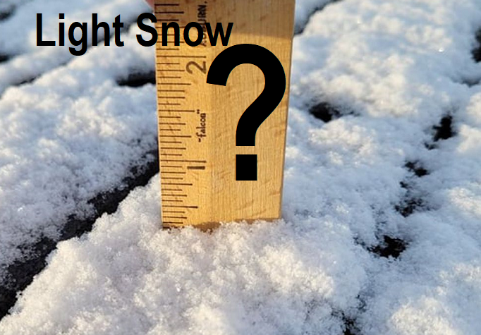
Arctic Air may then be dragged into our area by two low pressure systems - the first on Friday and the second on later Saturday or Sunday. I should note that there's some discrepancies with the computer models. However, if this occurs as expected, temperatures will plummet and there would be the possibility of some light snow on or around Sunday. Still lots of time for things to change between now and then, so treat this as a heads up possibility.
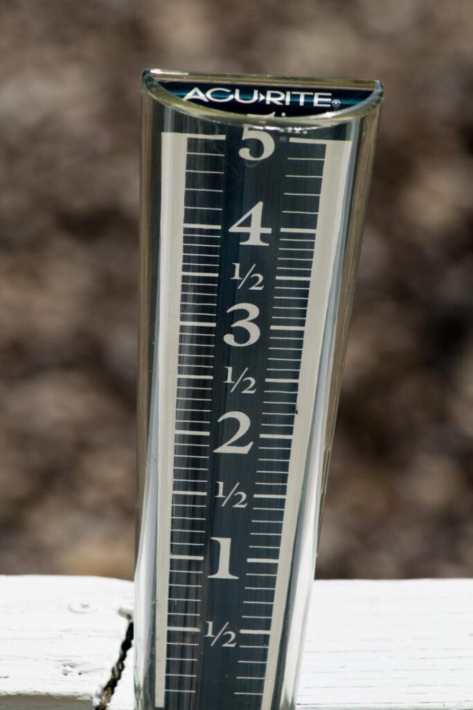
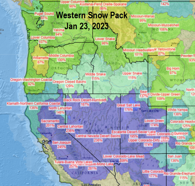
Regarding precipitation, we've recorded 16.30" of precipitation since the start of the water on October 1st. Normal to date is 23.27", which puts us at 70% of where we should be. Snow pack is at 87% for our area. Preliminary outlooks for February suggest above normal precipitation and below normal temperatures. La Nina should completely fizzle out over the next 30-45 days, but there's then a strong chance of an El Nino forming during the summer and continuing through winter 2023-24.