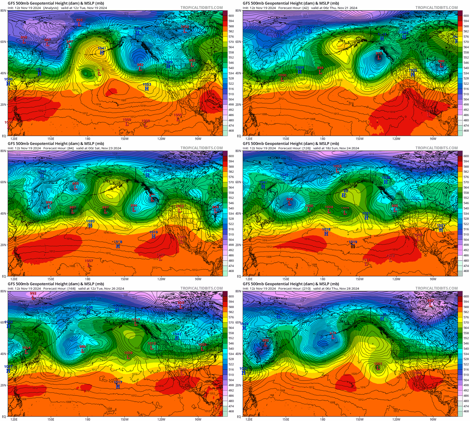
Tuesday 3:45pm: BREATHE! No big changes to yesterdays post, but just wanted to give a quick update. Watch the satellite GIF below and you can see how quickly the storm tightens up (rapid intensification or the "bomb" cyclone that the media loves to say). Second GIF below is one of the many computer models showing a prediction through next Wednesday (note the two dancing "L" which stands for Low Pressure). As a Meteorologist, I live for this kind of stuff.
Anyway, local wind gusts so far have stayed under 15-25 mph and it's still possible for us to get some wind gusts up to 30-40 mph especially before about 1:00am, but anything stronger than that is highly unlikely. Winds then decrease after 1am Wednesday with no concerns after sunrise. Along the coast, so far, winds haven't been as strong as predicted (yet). Gusts have mostly stayed 30 mph or under from Newport south. But winds will increase, no doubt.

