Happy Monday! A couple of relatively cold storm systems will affect the area with rain & showers early this afternoon through Wednesday. Winds today (Monday) can gust up to 20 or 25 mph at times through sunset and it may be breezy at times on Tuesday. Total rainfall today about 1/2", near 1/5" on Tuesday, and around 1/4" on Wednesday. This is the time of year where we can't rule out a thunderstorm with hail.
Snow levels: 2500' today, 1000' tonight into Tuesday morning, 2500' Tuesday afternoon, 1500' Tuesday night/Wednesday morning, 2500' the rest of Wednesday.
Looks like another system will move in on Thursday afternoon bringing an additional 1/3" of rainfall. Showers may linger into Friday morning, but Friday afternoon through Saturday will probably be dry with temperatures warming closer to normal. Another storm may bring showers on Sunday, but this isn't set in stone right now and we therefore could end up dry.
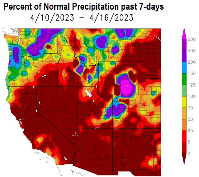
By the way, we're at 29.19" of precipitation since the start of the water year on Oct 1. Normal to date is 37.69", so we're at 77% of normal. Over the next 14-days, probability odds favor near to slightly below normal precipitation and temperatures.