Sunday Jan 2: Significant rainfall (2-4") is expected through Friday. Winds will increase this afternoon with gusts of up to 25-35 mph possible at anytime between 4pm today to 7am Monday Monday morning. It will then remain breezy at times through Tuesday afternoon, with some wind gusts up to 10-20 mph at times.
💧 RAIN 💧 Although small rain chances exist through this evening, the heaviest rain is expected to develop between midnight and 3:00am Monday morning and continue to about 8:00am. We can see 1"+ of rainfall in just a 2-4 hour period. Mainly moderate rainfall will then continue through Tuesday evening (additional 1-1.5"). By Saturday morning , total rainfall may approach 3.50-4.50". We'll probably get a much needed break next weekend, than another storm may bring us more rain the following Monday.
❄ Snow ❄ Although snow levels through Tuesday morning should stay above 2000' with over a foot possible, we can't completely rule out the possibility of snow dipping down to near 1000-1500' at times Monday evening to early Tuesday morning as colder air moves in. That is IF conditions align just right. But by then the bulk of moisture will have passed so heavy snow at that elevation is unlikely. Snow in Cottage Grove is very unlikely, but not impossible 6pm Monday to 2am Tuesday.
⚡HAZARDS⚡ Since the soils are already saturated, local hazards this week will include minor flooding and the possibility of downed trees/broken limbs, especially if winds over 30 mph occur. Hills/mountains may see higher winds to 50+ mph.
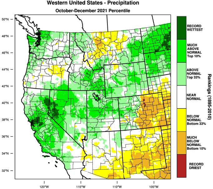
As of 10:00am Sun Jan 2, we've recorded 19.14" of precipitation and 5-10" of snow in the Grove. Normal-to-date is 18.62", so we're within a half inch of average. Not bad! Precipitation during the first seven days of this new year could bring us at least half of January's entire average of 6.73".


