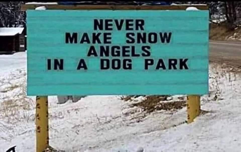
For those of you not in the Facebook Weather Group, the community posted dozens of snow pictures from yesterday's snow. Everyone enjoyed seeing them all! This weekend, I'll put them into a collage here on the website and send out a post with them all so you can check them out (I'll be sure to include all your names for proper credit). Some people learned a lesson to never make snow angels in a dog park.
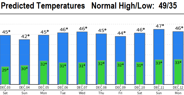
Cold temps for the next 7-10 days (highs 40's, lows 27-33 - see chart at end of post). Next storm system is expected to remain offshore but be close enough to possibly cause some light showers at times Saturday morning through Sunday.
SNOW? Things become complex when the system moves inland along the CA/OR border on Sunday. We will be at the north edge of this storm and there could be some interaction with cold air in place as a moisture band pushes up from southwest to northeast early Sunday morning. Under the right conditions, this could cause snow or freezing rain here (low chance of this happening).
Otherwise, a chance of showers will exist Saturday with better chances on Sunday. About 1/4" of rain or less, so no biggie and not a washout for activities around town this weekend. Although snow levels will mainly stay above 2000', keep in mind what I just mentioned as a possibility IF things align just right. Monday through Wednesday looks dry, then we may get back-to-back storms Thursday-Friday.