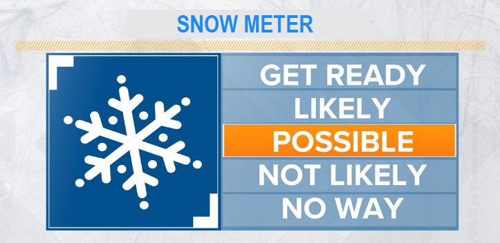
Ready for snow? Very latest data continues to support the likelihood that we'll see anywhere from some flakes to a dusting to 4" of snow Monday night to about mid-morning Tuesday. There's still some uncertainties, so it's not 100% that we'll get snow (although chances are now a little higher that ingredients may come together just right for us to see some light snow Monday night through about mid-morning Tuesday). The biggest issue is that by the time cold enough air arrives to drop snow levels down to 500', little moisture will be left with the storm.
Otherwise, rain/showers on Monday (1/2" or less) and breezy with wind gusts to about 25 mph. Snow levels Monday start out at above 3000' but rapidly begin to lower after noon, bottoming out at 500' Monday night and Tuesday morning. Dry and much colder Tuesday afternoon through Wednesday. Next storm comes in on Thursday with light showers and snow levels above 1500'. Another system then comes in next Saturday with snow levels above 2500'.
ADDITIONAL SNOW CHANCES MAY OCCUR AROUND FEB 20-25!