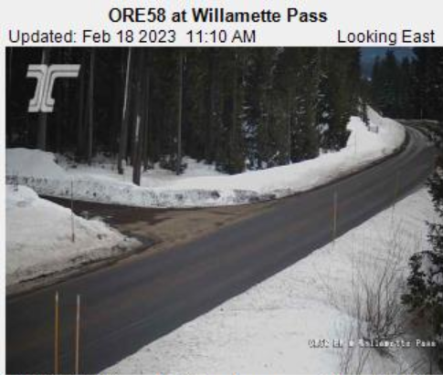
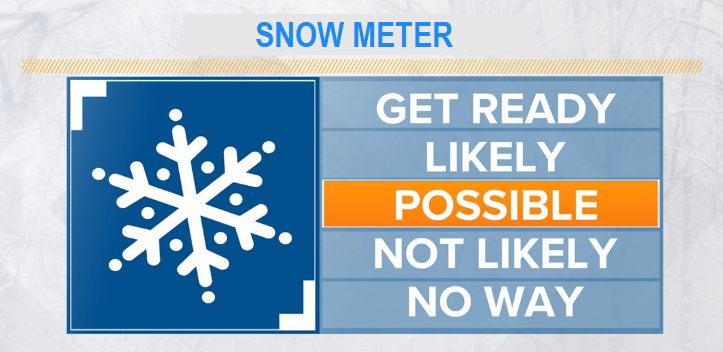
A very cold storm will affect the region Monday evening through early Thursday morning. This system has limited moisture, so any snow that falls below 1000' should be light. Here in Cottage Grove, Monday night through Tuesday morning presents an opportunity for us to see a dusting to 1" of snow. Tuesday and Wednesday will likely see periods of light showers, a rain/snow mix, or snow showers. Up to an additional 4" of total snowfall is possible Tuesday through Wednesday night. These totals are approximate and subject to change. Chances of a snowmageddon are ridiculously low, so not even on my mind.
WIND: Breezy Monday night and Tuesday, with gusts possibly up to 25 or 30 mph at times. Breezes Wed/Thur are expected to be 10 mph or less, but don't be surprised if we see a few gusts to 15 mph.
TEMPERATURES: Much colder Tuesday through next weekend. Normal high/low next week is near 55/35, and we'll be as much as 20° below normal Wed-Fri. Highs Wed/Thur/Fri will struggle to get much above freezing (mostly low-mid 30's). Lows are expected to be near 20 Wed night and 10-15 Thur night and Fri night. Winchills during the day (how it feels on the body) will make it feel like 22-30° on Tuesday, then 13-23° Wed/Thur.