Lowland Snow possible anytime Sunday A.M. through middle of next week...
January 29, 2025
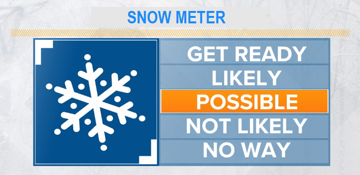
**SNOW may be possible any time between early Sunday morning and Wednesday night of next week**
Take a deep breath, no ice storm! Winter Storms (plural) are expected to impact the entire state Friday through the middle of next week. Expect it to be cold (lows not nearly as cold as the past several days), rounds of rain, and very low snow levels at times possibly down to near 500'. Big questions right now on exact tracks of the low pressure systems and location of cold enough air / moisture that could cause snow levels below 1000' (and if so how much snow). It's always wise to be prepared during the winter months because Cottage Grove (elevation 642') does have a 5.9" yearly snow average based on records going back to 1916, so snow is nothing new here.
Bottom line: At least two low pressure systems will cause 2-3" of total rain through Wednesday (Feb 5). Snow levels MAY drop to around 500-1500' at times anytime between early Sunday and Wednesday night. In Cottage Grove, current data suggests anywhere from just some flurries or a dusting to up to 6" of snow MAY be possible any time Sun-Wed. Travel over the passes Sun-Wed could be significantly impacted. Thursday night through Friday may be breezy at times with wind gusts of 20-30 mph possible (not strong winds).
PLEASE KNOW that when talking about lowland snow, predictions are only accurate within 12-36 hours of the event so to say right now that we will 100% get snow and how much is just a guess and based on how things look right now (all ingredients have to come together just right). BE CAREFUL of any people, websites, pages that hype and cause fearmongering just to get likes and attention (you're safe from that here).
Subscribe to receive updates when we post weather and preparedness updates to our blog. You can elect immediate, daily, or weekly emails. We anticipate a fairly low volume - 3 to 5 posts per week.