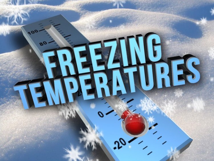
Low 20's at night continue for several more days! Rain late next week?
January 23, 2025
Screenshot
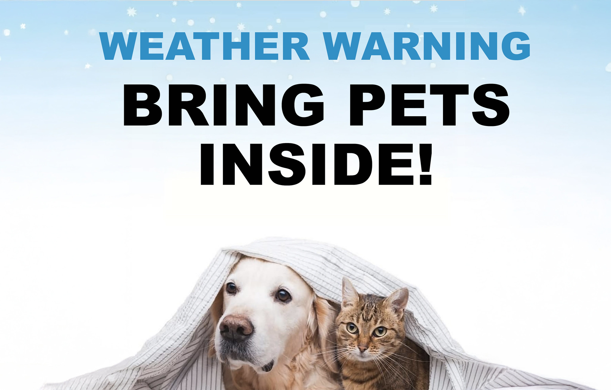
See "SNOW" below. Pets left out at night cannot maintain their body warmth. Lows way below freezing through Tuesday night then the BIG THAW starts on Wednesday night January 29 when overnight low temperatures rise to above freezing.
Until the big thaw later NEXT WEEK, low 20's are likely again tonight, Friday night, and Saturday night. Then mid-upper 20's through Tuesday night or Wednesday night. This morning's low (Thursday) was 22 in Cottage Grove and is the coldest since the ice storm of January of last year (24° was the lowest then).
Stormy pattern returns: Storm systems are expected to start to again regularly passing through on Thursday Jan 31 with several probably continuing through right on through February 8 and beyond. Total rainfall from Thursday through Feb 8 can be anywhere from 2"-5".
SNOW (very preliminary, low accuracy): Storm systems passing through from Thur Jan 31 through Feb 5 will be arriving with cold air already in place here and will also contain some cold air so snow levels could be quite low and possibly be near 1000-1500' at times. RIGHT NOW, it's not out of the question that we could see a light dusting to 2" of snow here in Cottage Grove anytime between Thur Jan 31 and Wed Feb 5th. Lowland snow predictions are only accurate within 12-36 hours of the event.
No need to panic - a significant snow event is unlikely and there's absolutely no signs of an ice storm.
Subscribe to receive updates when we post weather and preparedness updates to our blog. You can elect immediate, daily, or weekly emails. We anticipate a fairly low volume - 3 to 5 posts per week.