The Astronomical Fall (Autumnal Equinox) doesn't occur until September 22, but today (Sept 1) we celebrate the beginning of the Meteorological Fall which is tied to temperatures. Notice the nice cool and crisp mornings?

Dry weather likely to continue
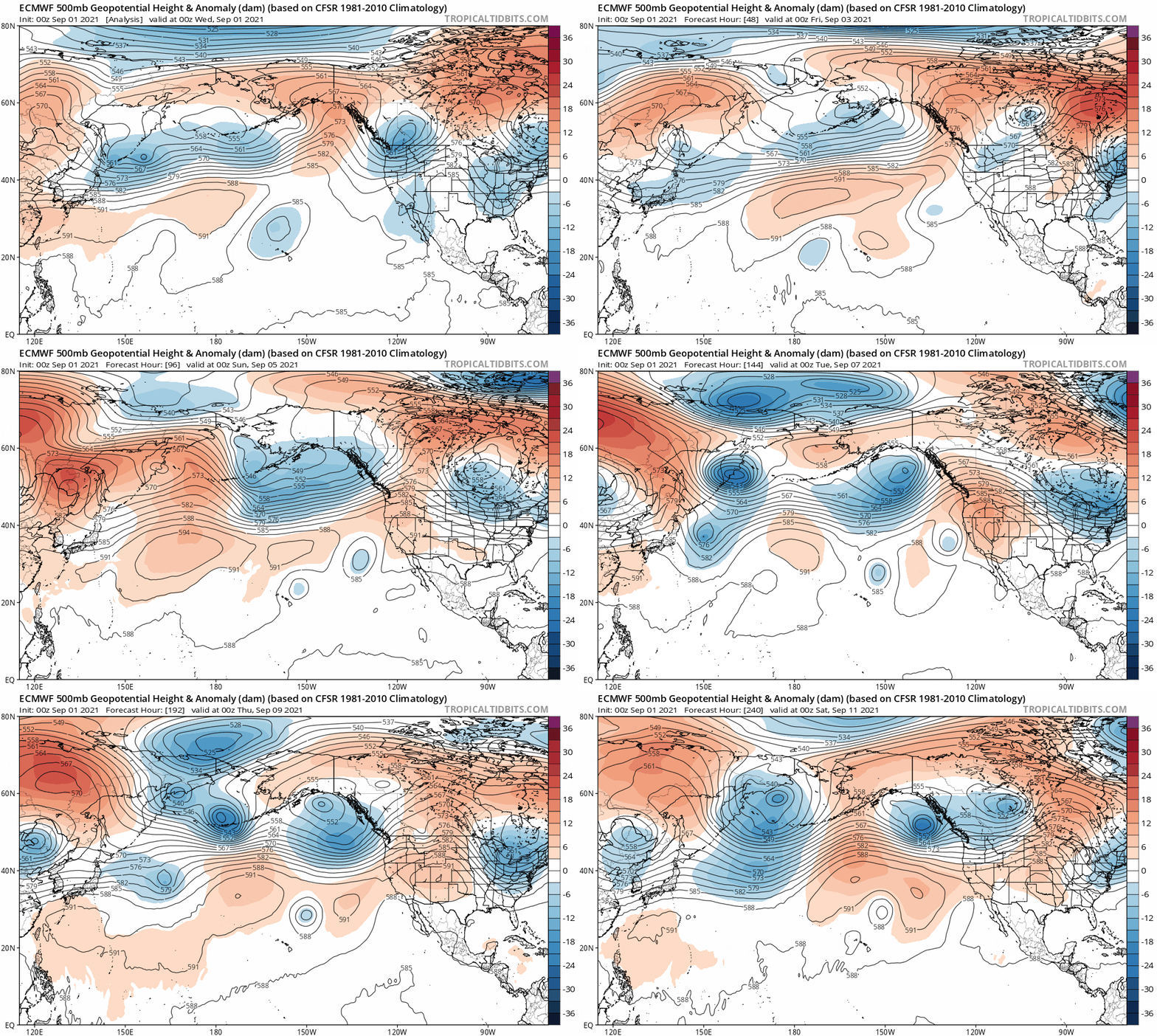
Unfortunately, I don't see any signs of rain over the next 5-7 days. Previously, there were hints of the storm door possibly opening sometime around Sept 1-3 across the PacNW. However, high pressure continues to be stubborn, keeping the jet stream aimed too far north for storms to otherwise bring rainfall into our area. September's average monthly combined rainfall is 1.51", then it bumps to 3.67" for October. But a change may be on the horizon (see below).
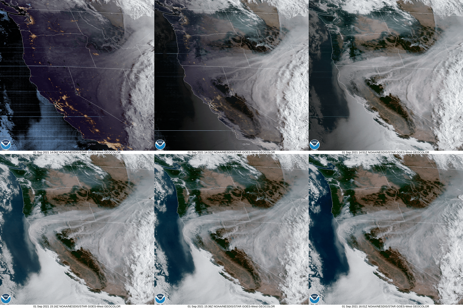
Although the Labor Day Holiday Weekend (Sept 4-6) currently looks dry across our area, storm systems will pass through southwest Canada. The tail end of one of the systems may bring some light rain to parts of western Washington, especially on Saturday. Some clouds will probably occasionally pass through our area. Winds will vary from light to breezy at times, with gusts to 10-15 mph. Keep in mind that the wind direction will shift around. This may bring some smoke into the area as well as cause haze.
High temperatures across Cottage Grove will warm today to 75-80, then peak in the low to mid 80's Thursday through Labor Day. Highs may cool to around 80 on Sunday if the southern end of the storm system well to our north is a little stronger than currently predicted. Overnight lows will bottom out in the low to mid 40's through Friday morning, then be around the mid to upper 40's Friday night through Monday.

When will we see some rain?
Dry weather is likely to continue through Labor Day (Mon Sept 6). Thereafter, computer models are again hinting at a few different possible scenarios. A "cut-off" low pressure system offshore of southern California is expected to move north and may move inland near the OR/CA border on Tuesday or Wednesday. The exact location and timing is uncertain right now. Meanwhile, several storm systems will continue forming in the Gulf of Alaska and pass into southwestern Canada. However, there's again hints that the jet stream may dip a little more south around the middle and end of next week. This will need to be watched closely because it could bring our first appreciable rain of the fall season. Here's some possible scenarios:
