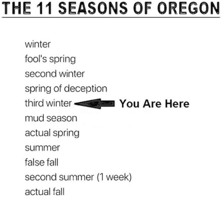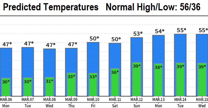

Snow showers this morning (Sunday) will change over to rain or a rain/snow mix at times once the temperature warms by around 9am or 10am. Not expecting more than an inch or two. Another chance of a dusting or so is possible tonight / Monday morning. Can't rule out late night/early morning dustings through Wednesday morning (although the chances are low below 1000'). Otherwise, total rainfall in the form of showers looks to be less than 1/3" through Wednesday, then a potentially wet and much warmer storm (snow levels above 5000') may come in Thursday - Friday. At or below freezing low temperatures the next several mornings mean icy roads/pavement. Temperatures then start to warm later this week and are expected be closer to normal (for a change) next weekend into the following week.

