We'll probably all have to start doing the rain dance here pretty soon. Unfortunately, this dry pattern is now expected to continue to around the middle of the month. Look at the GIF image and you'll see that this model predicts anomalous high pressure (reddish colors) through the middle of the month. Most other data have similar predictions. Therefore, dry weather and above normal temperatures will continue. Next week, temps will cool a little closer to normal.
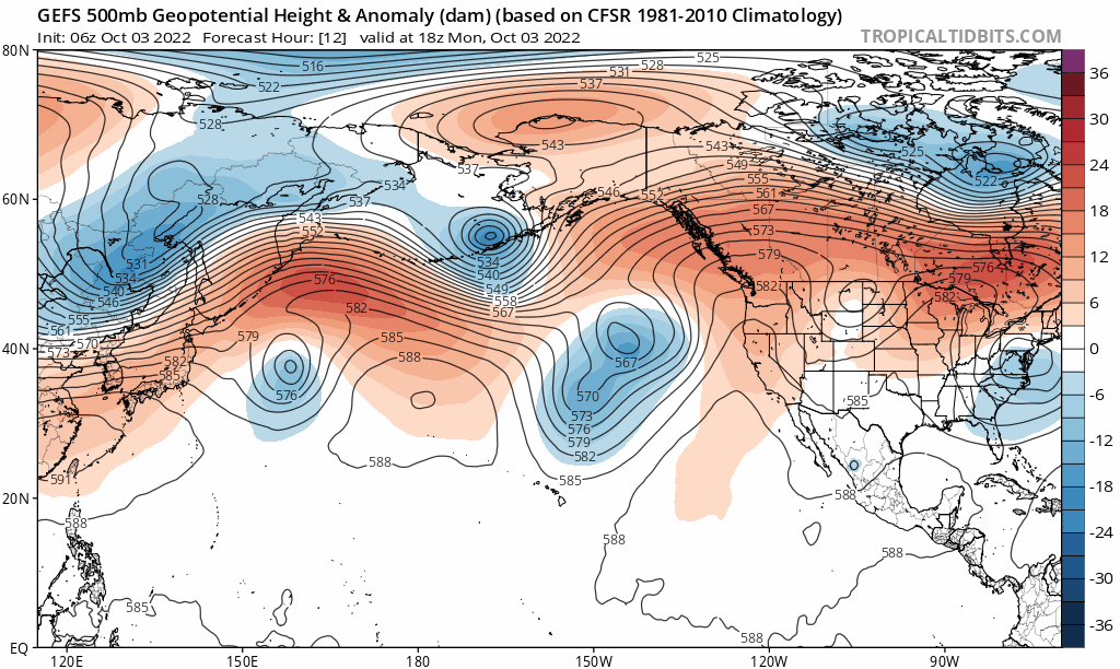
Several factors are contributing to anomalously strong high pressure in the North Pacific, which affects the jet stream and pushes it into Canada (leaving us more dry than not). La Nina is one influence. Another is a pattern, at times, of anomalous / strong / blocking high pressure in the North Pacific during the rainy season (especially affects areas south of Oregon). We've seen this pattern quite often since 2012 and is a contributor to western drought.