
We didn't get any snow last night, but we knew that the chances were minimal due to little moisture with the system. By the time cold enough air to cause snow arrived, there was just too little moisture left to work with. Winds overnight were stronger than forecast and therefore evaporated the wet pavement (along with much drier air), so ice wasn't nearly as widespread this morning (a good thing!). Next chance of showers looks to be Thursday night and Friday with rain next Sunday. Storms don't look strong nor very wet; more details about this on Tuesday.
Lows tonight and Monday morning 15-19° with light breezes at times. Expect lows in the mid 20's Tuesday night, upper 20's Wednesday night, then probably above freezing Thursday night as the next much warmer storm system moves in. Daytime highs Monday will be in the low 40's, mid/upper 40's on Tuesday, then around 50 Wednesday and Thursday. These cold temperatures are due to modified Arctic Air being blown into the region from the north. If you haven't felt these brutal northerly winds, then you've probably heard it howling.
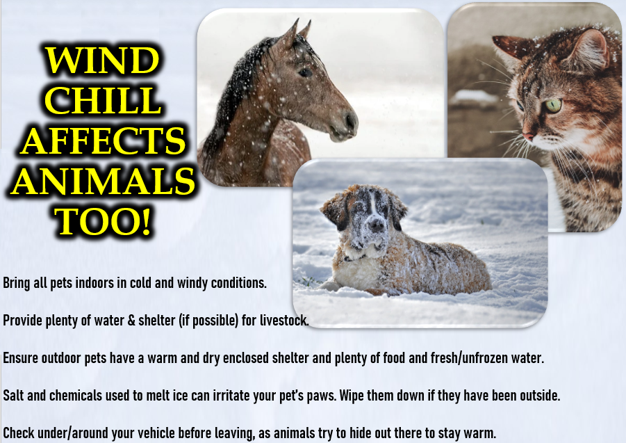
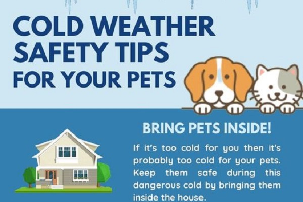
Animals are unable to maintain their body warmth in these cold temperatures, when left outside. Unless heated with the door closed, outside shelters don't keep animals warm enough because breezes (no matter how light) blow cold air inside. Pets are safe inside with you, because if you're cold, so are they.