Thur Feb 10: Balmy high temperatures through Sunday - that is IF night/morning fog and low clouds clear out at a decent hour so to allow for plenty of sunshine. My wife's trucking in sand and setting up beach chairs out front. Come join us for free margaritas!
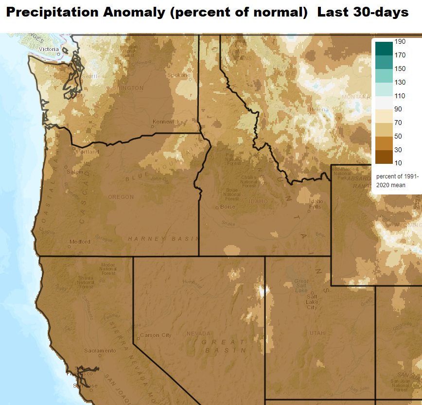
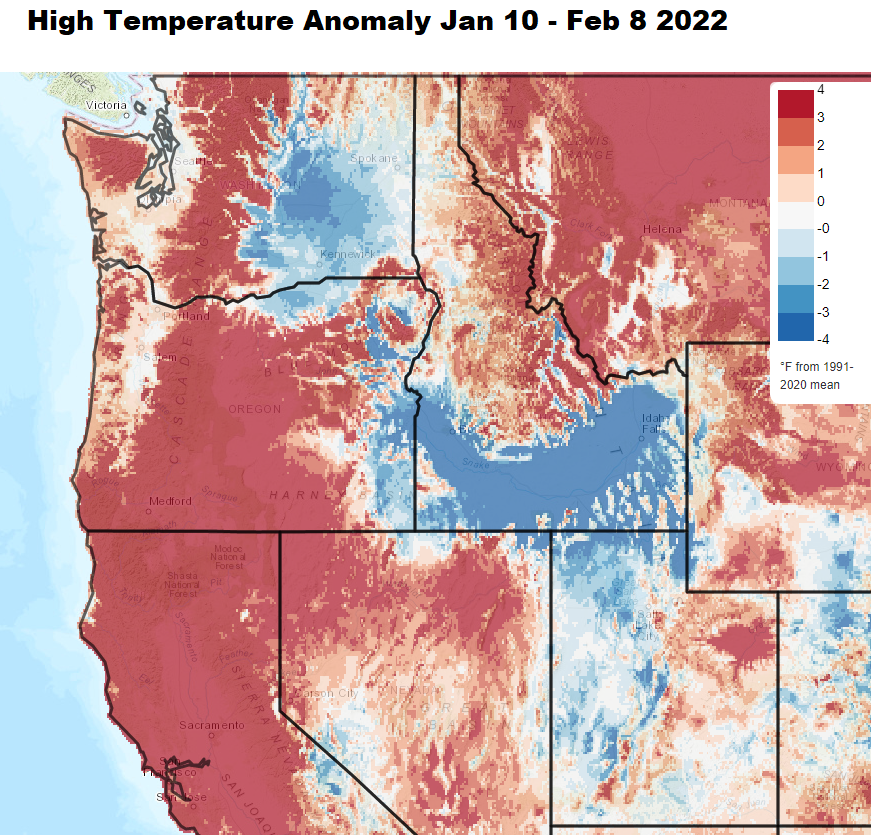
Kidding aside, we should be cool and dreary with regular rainfall, but instead our extended period of dry weather will continue through Sunday (compliments of anomalous high pressure). If fog / low clouds don't linger for much of the day, high temps through Sunday are expected to be 59-64 (7-12 degrees above our normal of 52). Lows will vary at around 33-39 (normal is 34).
So when will it rain? An abrupt cool down and change to the weather will occur on Monday. A storm system will bring about 1/3" of rain on Monday with some breezes to 15 mph. The biggest impact will be the much colder daytime temperatures of 10-15 degrees between Sunday and Monday (highs Sunday low-mid 60's, then upper 40's-around 50 on Monday). Thereafter, Tuesday - Friday of next week looks dry then we "might" switch over to a wet pattern the following weekend.
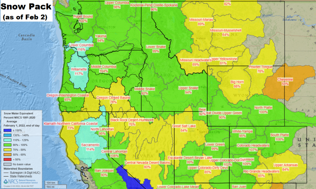
Since the start of the water year on Oct 1, we've recorded 23.84" of precipitation. Normal to date is 26.11" (91% of normal). Drought has not improved since Jan 4; 88% of Oregon is still in a drought, 42% in the two worst categories.


